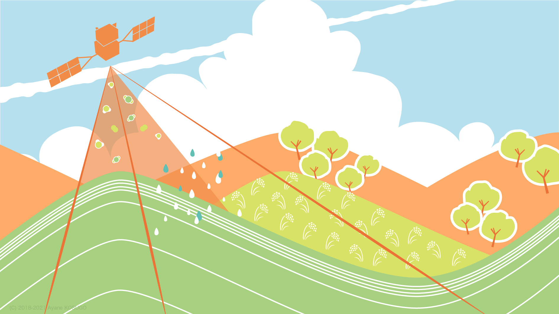
The importance of global environmental issues is now recognized not only in the academic world but in the public, and these problems show significant social and economic impacts. The data observed by satellites are indispensable tools for wider earth observations, such as global warming, changes in ice areas, disaster monitoring, desertification, vegetation assessment, and atmospheric environmental issues. Satellite remote sensing data have been used directly and indirectly for many global environmental problems in conjunction with various data observed on the ground. At present, it is not possible to diagnose the earth or the earth care without satellite remote sensing data. Recently, satellite data have been required to improve the temporal resolution and spatial resolution, that is the sophistication of sensors, constellation of small satellites. It has also become important to integrate or assimilate various types of data and model, to understand the situation, evaluate the problems, forecast, and propose possible solutions. Sensor development, data archiving, (real-time) data analysis, information extraction, results (diagnosis / evaluation), and prescription are all essential. This is a global version of a measurement system that uses a wearable terminal, monitors the human body moment by moment, and diagnoses and grasps the state of health; health care problems. From another perspective, remote sensing has interdisciplinary and cross-disciplinary features; geography, meteorology, atmospheric chemistry, atmospheric radiology, hydrology, agriculture, horticulture, civil engineering, urban environmental engineering, natural hazards, applied optics, applied physics, electrical and electronic engineering, informatics, communications, and so on.
Center for Environmental Remote Sensing Center (CEReS) was established in 1995, and selected as a nationwide joint research center in the field of environmental remote sensing by the Ministry of Education, Culture, Sports, Science and Technology in 2010. We conduct more than 55 joint research projects with universities and institutions in Japan and overseas every year. We have also about 30 agreements and contracts with various universities and institutions around the world to promote international joint research aimed at deepening and developing remote sensing, and capacity building. CEReS copes with solving social problems in collaboration with people in various fields all over the worlds. Your understandings and cooperation are highly appreciated.
Director, Center for Environmental Remote Sensing
HATTORI Katsumi


