Domestic network


International network


Domestic network

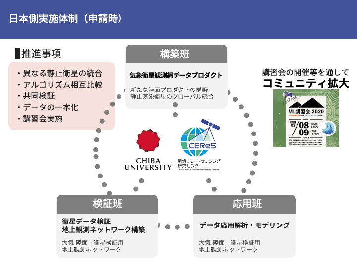
(1) Meteorological Satellite Data Validation Network Construction Team
This group will put together a ground network to validate the land surface products to be constructed in this research and promote validation research.
JapanFlux
Provides data on exchange of heat, water, CO2, etc. between the atmosphere and the ground surface
Longwave radiation observations are used as validation data for surface temperature products.
PEN (Phenological Eyes Network)
Provide camera and spectral emission data
SKYNET
Providing observed values of atmospheric parameters and solar radiation
In-Situ Observation Network Development

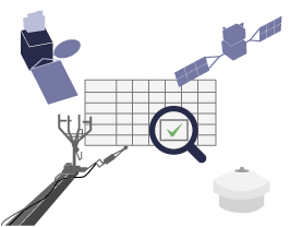
(2) Meteorological Satellite Data Product Construction Group
The team will construct various terrestrial products using geostationary meteorological satellites. (The team will utilize the verification network described in (1) above.
Collection and archiving of satellite data from various countries
Estimation of surface reflectance and surface temperature
Correction of angular dependence of ground surface reflectance
Ground observation network data + conventional satellite observation data (MODIS, etc.) and mutual calibration among meteorological satellites
Validation considering various differences in satellite and sensor specifications, such as orbital differences
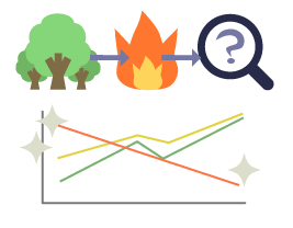
Construct products such as leaf area, photosynthesis, and forest fire based on estimated reflectance and ground surface temperature
Product Development

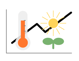
(3) Data Application and Analysis Group
By using the products constructed in (2), we will attempt various environmental change monitoring and modeling of the earth's surface layer.
Monitoring of deforestation and vegetation change
Extraction of forest fire areas
Monitoring of urban thermal environment
Monitoring of lakes and marshes
Application
